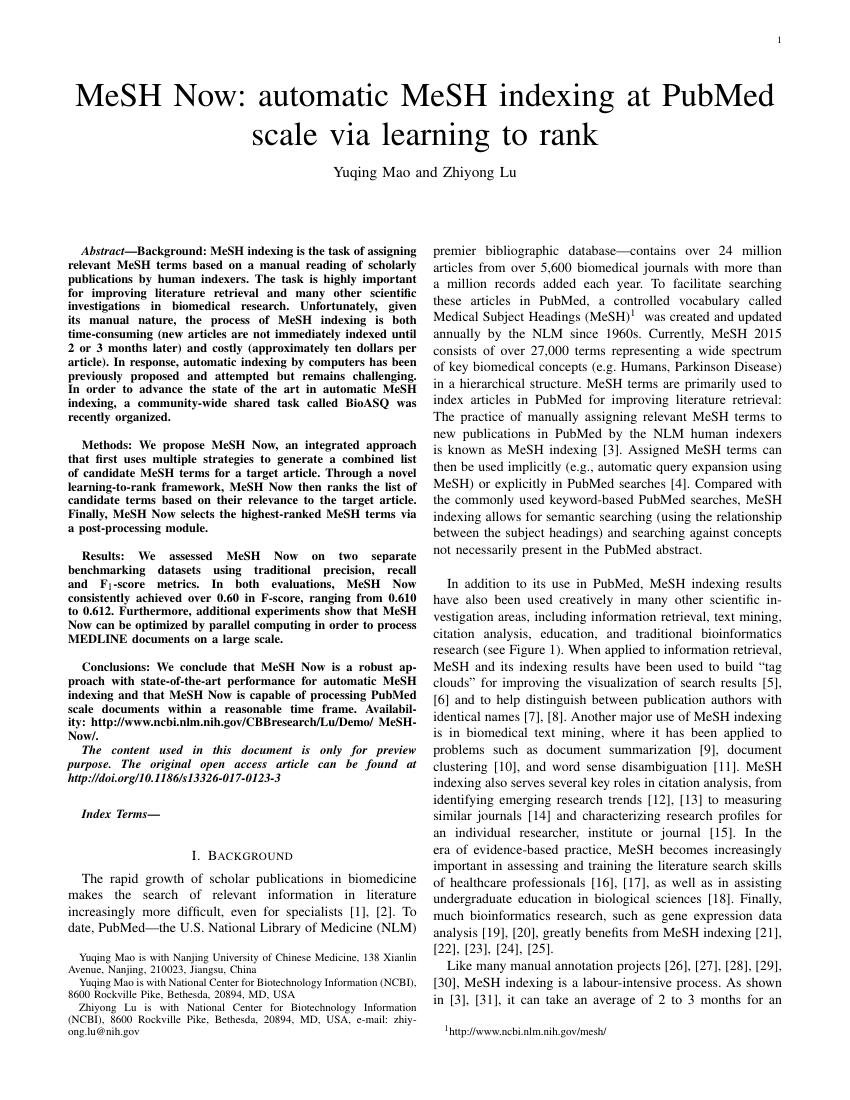
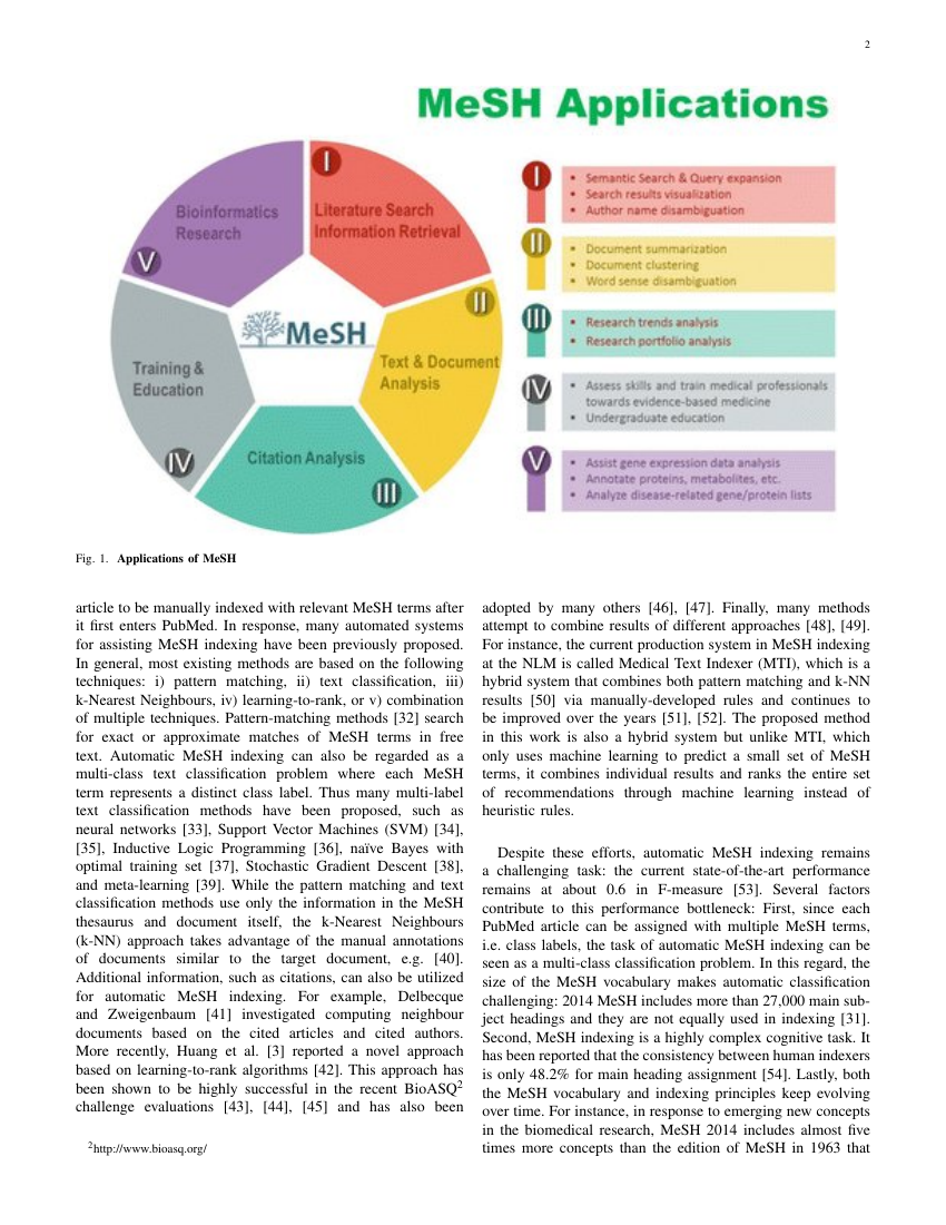
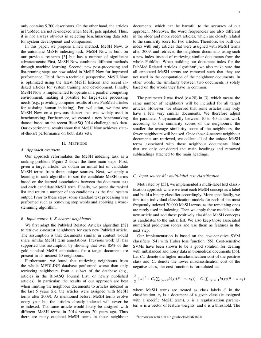
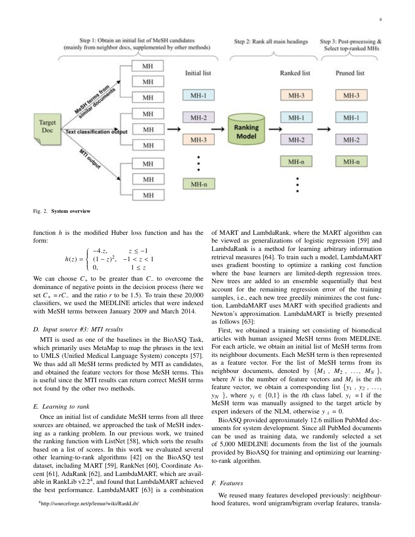
Example of IEEE Geoscience and Remote Sensing Letters format
Recent searches

Example of IEEE Geoscience and Remote Sensing Letters format Example of IEEE Geoscience and Remote Sensing Letters format Example of IEEE Geoscience and Remote Sensing Letters format Example of IEEE Geoscience and Remote Sensing Letters format Example of IEEE Geoscience and Remote Sensing Letters format Example of IEEE Geoscience and Remote Sensing Letters format Example of IEEE Geoscience and Remote Sensing Letters format Example of IEEE Geoscience and Remote Sensing Letters format Example of IEEE Geoscience and Remote Sensing Letters format
Sample paper formatted on SciSpace - SciSpace
This content is only for preview purposes. The original open access content can be found here.
Look Inside
Example of IEEE Geoscience and Remote Sensing Letters format Example of IEEE Geoscience and Remote Sensing Letters format Example of IEEE Geoscience and Remote Sensing Letters format Example of IEEE Geoscience and Remote Sensing Letters format Example of IEEE Geoscience and Remote Sensing Letters format Example of IEEE Geoscience and Remote Sensing Letters format Example of IEEE Geoscience and Remote Sensing Letters format Example of IEEE Geoscience and Remote Sensing Letters format Example of IEEE Geoscience and Remote Sensing Letters format
Sample paper formatted on SciSpace - SciSpace
This content is only for preview purposes. The original open access content can be found here.
open access Open Access
recommended Recommended

IEEE Geoscience and Remote Sensing Letters — Template for authors

Publisher: IEEE
Categories Rank Trend in last 3 yrs
Geotechnical Engineering and Engineering Geology #7 of 195 down down by 4 ranks
Electrical and Electronic Engineering #77 of 693 up up by 2 ranks
journal-quality-icon Journal quality:
High
calendar-icon Last 4 years overview: 1657 Published Papers | 14066 Citations
indexed-in-icon Indexed in: Scopus
last-updated-icon Last updated: 02/06/2020
Related journals
Insights
General info
Top papers
Popular templates
Get started guide
Why choose from SciSpace
FAQ

Related Journals

open access Open Access

IEEE

Quality:  
High
CiteRatio: 6.4
SJR: 0.786
SNIP: 2.027
open access Open Access

Taylor and Francis

Quality:  
High
CiteRatio: 5.1
SJR: 0.686
SNIP: 1.835

Journal Performance & Insights

Impact Factor

CiteRatio

Determines the importance of a journal by taking a measure of frequency with which the average article in a journal has been cited in a particular year.

A measure of average citations received per peer-reviewed paper published in the journal.

3.833

8% from 2018

Impact factor for IEEE Geoscience and Remote Sensing Letters from 2016 - 2019
Year Value
2019 3.833
2018 3.534
2017 2.892
2016 2.761
graph view Graph view
table view Table view

8.5

10% from 2019

CiteRatio for IEEE Geoscience and Remote Sensing Letters from 2016 - 2020
Year Value
2020 8.5
2019 7.7
2018 6.8
2017 5.9
2016 5.6
graph view Graph view
table view Table view

insights Insights

  • Impact factor of this journal has increased by 8% in last year.
  • This journal’s impact factor is in the top 10 percentile category.

insights Insights

  • CiteRatio of this journal has increased by 10% in last years.
  • This journal’s CiteRatio is in the top 10 percentile category.

SCImago Journal Rank (SJR)

Source Normalized Impact per Paper (SNIP)

Measures weighted citations received by the journal. Citation weighting depends on the categories and prestige of the citing journal.

Measures actual citations received relative to citations expected for the journal's category.

1.372

8% from 2019

SJR for IEEE Geoscience and Remote Sensing Letters from 2016 - 2020
Year Value
2020 1.372
2019 1.497
2018 1.518
2017 1.486
2016 1.528
graph view Graph view
table view Table view

1.864

3% from 2019

SNIP for IEEE Geoscience and Remote Sensing Letters from 2016 - 2020
Year Value
2020 1.864
2019 1.925
2018 1.868
2017 1.714
2016 1.994
graph view Graph view
table view Table view

insights Insights

  • SJR of this journal has decreased by 8% in last years.
  • This journal’s SJR is in the top 10 percentile category.

insights Insights

  • SNIP of this journal has decreased by 3% in last years.
  • This journal’s SNIP is in the top 10 percentile category.

IEEE Geoscience and Remote Sensing Letters

Guideline source: View

All company, product and service names used in this website are for identification purposes only. All product names, trademarks and registered trademarks are property of their respective owners.

Use of these names, trademarks and brands does not imply endorsement or affiliation. Disclaimer Notice

IEEE

IEEE Geoscience and Remote Sensing Letters

This publication emphasizes rapid turn-around for shorter, high-impact papers on the theory, concepts, and techniques of science and engineering as they apply to the sensing of the earth, oceans, atmosphere, and space; and the processing, interpretation, and dissemination of t...... Read More

Geotechnical Engineering and Engineering Geology

Electrical and Electronic Engineering

Earth and Planetary Sciences

i
Last updated on
02 Jun 2020
i
ISSN
1545-598X
i
Impact Factor
High - 2.302
i
Open Access
No
i
Sherpa RoMEO Archiving Policy
Green faq
i
Plagiarism Check
Available via Turnitin
i
Endnote Style
Download Available
i
Bibliography Name
IEEEtran
i
Citation Type
Numbered
[25]
i
Bibliography Example
C. W. J. Beenakker, “Specular andreev reflection in graphene,” Phys. Rev. Lett., vol. 97, no. 6, p.

Top papers written in this journal

open accessOpen access Journal Article DOI: 10.1109/LGRS.2018.2802944
Road Extraction by Deep Residual U-Net
Zhengxin Zhang1, Qingjie Liu1, Yunhong Wang1

Abstract:

Road extraction from aerial images has been a hot research topic in the field of remote sensing image analysis. In this letter, a semantic segmentation neural network, which combines the strengths of residual learning and U-Net, is proposed for road area extraction. The network is built with residual units and has similar arc... Road extraction from aerial images has been a hot research topic in the field of remote sensing image analysis. In this letter, a semantic segmentation neural network, which combines the strengths of residual learning and U-Net, is proposed for road area extraction. The network is built with residual units and has similar architecture to that of U-Net. The benefits of this model are twofold: first, residual units ease training of deep networks. Second, the rich skip connections within the network could facilitate information propagation, allowing us to design networks with fewer parameters, however, better performance. We test our network on a public road data set and compare it with U-Net and other two state-of-the-art deep-learning-based road extraction methods. The proposed approach outperforms all the comparing methods, which demonstrates its superiority over recently developed state of the arts. read more read less

Topics:

Residual (55%)55% related to the paper, Feature extraction (54%)54% related to the paper, Image segmentation (51%)51% related to the paper, Artificial neural network (51%)51% related to the paper
View PDF
1,564 Citations
Journal Article DOI: 10.1109/LGRS.2005.857030
A Landsat surface reflectance dataset for North America, 1990-2000

Abstract:

The Landsat Ecosystem Disturbance Adaptive Processing System (LEDAPS) at the National Aeronautics and Space Administration (NASA) Goddard Space Flight Center has processed and released 2100 Landsat Thematic Mapper and Enhanced Thematic Mapper Plus surface reflectance scenes, providing 30-m resolution wall-to-wall reflectance ... The Landsat Ecosystem Disturbance Adaptive Processing System (LEDAPS) at the National Aeronautics and Space Administration (NASA) Goddard Space Flight Center has processed and released 2100 Landsat Thematic Mapper and Enhanced Thematic Mapper Plus surface reflectance scenes, providing 30-m resolution wall-to-wall reflectance coverage for North America for epochs centered on 1990 and 2000. This dataset can support decadal assessments of environmental and land-cover change, production of reflectance-based biophysical products, and applications that merge reflectance data from multiple sensors [e.g., the Advanced Spaceborne Thermal Emission and Reflection Radiometer, Multiangle Imaging Spectroradiometer, Moderate Resolution Imaging Spectroradiometer (MODIS)]. The raw imagery was obtained from the orthorectified Landsat GeoCover dataset, purchased by NASA from the Earth Satellite Corporation. Through the LEDAPS project, these data were calibrated, converted to top-of-atmosphere reflectance, and then atmospherically corrected using the MODIS/6S methodology. Initial comparisons with ground-based optical thickness measurements and simultaneously acquired MODIS imagery indicate comparable uncertainty in Landsat surface reflectance compared to the standard MODIS reflectance product (the greater of 0.5% absolute reflectance or 5% of the recorded reflectance value). The rapid automated nature of the processing stream also paves the way for routine high-level products from future Landsat sensors. read more read less

Topics:

Thematic Mapper (64%)64% related to the paper, Moderate-resolution imaging spectroradiometer (56%)56% related to the paper
1,389 Citations
Journal Article DOI: 10.1109/LGRS.2017.2681128
Deep Learning Classification of Land Cover and Crop Types Using Remote Sensing Data
Nataliia Kussul1, Mykola Lavreniuk1, Sergii Skakun2, Andrii Shelestov3

Abstract:

Deep learning (DL) is a powerful state-of-the-art technique for image processing including remote sensing (RS) images. This letter describes a multilevel DL architecture that targets land cover and crop type classification from multitemporal multisource satellite imagery. The pillars of the architecture are unsupervised neura... Deep learning (DL) is a powerful state-of-the-art technique for image processing including remote sensing (RS) images. This letter describes a multilevel DL architecture that targets land cover and crop type classification from multitemporal multisource satellite imagery. The pillars of the architecture are unsupervised neural network (NN) that is used for optical imagery segmentation and missing data restoration due to clouds and shadows, and an ensemble of supervised NNs. As basic supervised NN architecture, we use a traditional fully connected multilayer perceptron (MLP) and the most commonly used approach in RS community random forest, and compare them with convolutional NNs (CNNs). Experiments are carried out for the joint experiment of crop assessment and monitoring test site in Ukraine for classification of crops in a heterogeneous environment using nineteen multitemporal scenes acquired by Landsat-8 and Sentinel-1A RS satellites. The architecture with an ensemble of CNNs outperforms the one with MLPs allowing us to better discriminate certain summer crop types, in particular maize and soybeans, and yielding the target accuracies more than 85% for all major crops (wheat, maize, sunflower, soybeans, and sugar beet). read more read less

Topics:

Multilayer perceptron (56%)56% related to the paper, Deep learning (50%)50% related to the paper
1,155 Citations
Journal Article DOI: 10.1109/LGRS.2005.857031
Composite kernels for hyperspectral image classification

Abstract:

This letter presents a framework of composite kernel machines for enhanced classification of hyperspectral images. This novel method exploits the properties of Mercer's kernels to construct a family of composite kernels that easily combine spatial and spectral information. This framework of composite kernels demonstrates: 1) ... This letter presents a framework of composite kernel machines for enhanced classification of hyperspectral images. This novel method exploits the properties of Mercer's kernels to construct a family of composite kernels that easily combine spatial and spectral information. This framework of composite kernels demonstrates: 1) enhanced classification accuracy as compared to traditional approaches that take into account the spectral information only: 2) flexibility to balance between the spatial and spectral information in the classifier; and 3) computational efficiency. In addition, the proposed family of kernel classifiers opens a wide field for future developments in which spatial and spectral information can be easily integrated. read more read less

Topics:

Hyperspectral imaging (57%)57% related to the paper, Kernel method (55%)55% related to the paper, Radial basis function kernel (55%)55% related to the paper, Contextual image classification (54%)54% related to the paper, Kernel (image processing) (52%)52% related to the paper
1,069 Citations
Journal Article DOI: 10.1109/LGRS.2009.2025059
Unsupervised Change Detection in Satellite Images Using Principal Component Analysis and $k$ -Means Clustering
Turgay Celik1

Abstract:

In this letter, we propose a novel technique for unsupervised change detection in multitemporal satellite images using principal component analysis (PCA) and k-means clustering. The difference image is partitioned into h times h nonoverlapping blocks. S, S les h2, orthonormal eigenvectors are extracted through PCA of h times ... In this letter, we propose a novel technique for unsupervised change detection in multitemporal satellite images using principal component analysis (PCA) and k-means clustering. The difference image is partitioned into h times h nonoverlapping blocks. S, S les h2, orthonormal eigenvectors are extracted through PCA of h times h nonoverlapping block set to create an eigenvector space. Each pixel in the difference image is represented with an S-dimensional feature vector which is the projection of h times h difference image data onto the generated eigenvector space. The change detection is achieved by partitioning the feature vector space into two clusters using k-means clustering with k = 2 and then assigning each pixel to the one of the two clusters by using the minimum Euclidean distance between the pixel's feature vector and mean feature vector of clusters. Experimental results confirm the effectiveness of the proposed approach. read more read less

Topics:

Feature vector (58%)58% related to the paper, Feature detection (computer vision) (57%)57% related to the paper, k-means clustering (57%)57% related to the paper, Principal component analysis (56%)56% related to the paper, Cluster analysis (55%)55% related to the paper
817 Citations
Author Pic

SciSpace is a very innovative solution to the formatting problem and existing providers, such as Mendeley or Word did not really evolve in recent years.

- Andreas Frutiger, Researcher, ETH Zurich, Institute for Biomedical Engineering

Get MS-Word and LaTeX output to any Journal within seconds
1
Choose a template
Select a template from a library of 40,000+ templates
2
Import a MS-Word file or start fresh
It takes only few seconds to import
3
View and edit your final output
SciSpace will automatically format your output to meet journal guidelines
4
Submit directly or Download
Submit to journal directly or Download in PDF, MS Word or LaTeX

(Before submission check for plagiarism via Turnitin)

clock Less than 3 minutes

What to expect from SciSpace?

Speed and accuracy over MS Word

''

With SciSpace, you do not need a word template for IEEE Geoscience and Remote Sensing Letters.

It automatically formats your research paper to IEEE formatting guidelines and citation style.

You can download a submission ready research paper in pdf, LaTeX and docx formats.

Time comparison

Time taken to format a paper and Compliance with guidelines

Plagiarism Reports via Turnitin

SciSpace has partnered with Turnitin, the leading provider of Plagiarism Check software.

Using this service, researchers can compare submissions against more than 170 million scholarly articles, a database of 70+ billion current and archived web pages. How Turnitin Integration works?


Turnitin Stats
Publisher Logos

Freedom from formatting guidelines

One editor, 100K journal formats – world's largest collection of journal templates

With such a huge verified library, what you need is already there.

publisher-logos

Easy support from all your favorite tools

IEEE Geoscience and Remote Sensing Letters format uses IEEEtran citation style.

Automatically format and order your citations and bibliography in a click.

SciSpace allows imports from all reference managers like Mendeley, Zotero, Endnote, Google Scholar etc.

Frequently asked questions

1. Can I write IEEE Geoscience and Remote Sensing Letters in LaTeX?

Absolutely not! Our tool has been designed to help you focus on writing. You can write your entire paper as per the IEEE Geoscience and Remote Sensing Letters guidelines and auto format it.

2. Do you follow the IEEE Geoscience and Remote Sensing Letters guidelines?

Yes, the template is compliant with the IEEE Geoscience and Remote Sensing Letters guidelines. Our experts at SciSpace ensure that. If there are any changes to the journal's guidelines, we'll change our algorithm accordingly.

3. Can I cite my article in multiple styles in IEEE Geoscience and Remote Sensing Letters?

Of course! We support all the top citation styles, such as APA style, MLA style, Vancouver style, Harvard style, and Chicago style. For example, when you write your paper and hit autoformat, our system will automatically update your article as per the IEEE Geoscience and Remote Sensing Letters citation style.

4. Can I use the IEEE Geoscience and Remote Sensing Letters templates for free?

Sign up for our free trial, and you'll be able to use all our features for seven days. You'll see how helpful they are and how inexpensive they are compared to other options, Especially for IEEE Geoscience and Remote Sensing Letters.

5. Can I use a manuscript in IEEE Geoscience and Remote Sensing Letters that I have written in MS Word?

Yes. You can choose the right template, copy-paste the contents from the word document, and click on auto-format. Once you're done, you'll have a publish-ready paper IEEE Geoscience and Remote Sensing Letters that you can download at the end.

6. How long does it usually take you to format my papers in IEEE Geoscience and Remote Sensing Letters?

It only takes a matter of seconds to edit your manuscript. Besides that, our intuitive editor saves you from writing and formatting it in IEEE Geoscience and Remote Sensing Letters.

7. Where can I find the template for the IEEE Geoscience and Remote Sensing Letters?

It is possible to find the Word template for any journal on Google. However, why use a template when you can write your entire manuscript on SciSpace , auto format it as per IEEE Geoscience and Remote Sensing Letters's guidelines and download the same in Word, PDF and LaTeX formats? Give us a try!.

8. Can I reformat my paper to fit the IEEE Geoscience and Remote Sensing Letters's guidelines?

Of course! You can do this using our intuitive editor. It's very easy. If you need help, our support team is always ready to assist you.

9. IEEE Geoscience and Remote Sensing Letters an online tool or is there a desktop version?

SciSpace's IEEE Geoscience and Remote Sensing Letters is currently available as an online tool. We're developing a desktop version, too. You can request (or upvote) any features that you think would be helpful for you and other researchers in the "feature request" section of your account once you've signed up with us.

10. I cannot find my template in your gallery. Can you create it for me like IEEE Geoscience and Remote Sensing Letters?

Sure. You can request any template and we'll have it setup within a few days. You can find the request box in Journal Gallery on the right side bar under the heading, "Couldn't find the format you were looking for like IEEE Geoscience and Remote Sensing Letters?”

11. What is the output that I would get after using IEEE Geoscience and Remote Sensing Letters?

After writing your paper autoformatting in IEEE Geoscience and Remote Sensing Letters, you can download it in multiple formats, viz., PDF, Docx, and LaTeX.

12. Is IEEE Geoscience and Remote Sensing Letters's impact factor high enough that I should try publishing my article there?

To be honest, the answer is no. The impact factor is one of the many elements that determine the quality of a journal. Few of these factors include review board, rejection rates, frequency of inclusion in indexes, and Eigenfactor. You need to assess all these factors before you make your final call.

13. What is Sherpa RoMEO Archiving Policy for IEEE Geoscience and Remote Sensing Letters?

SHERPA/RoMEO Database

We extracted this data from Sherpa Romeo to help researchers understand the access level of this journal in accordance with the Sherpa Romeo Archiving Policy for IEEE Geoscience and Remote Sensing Letters. The table below indicates the level of access a journal has as per Sherpa Romeo's archiving policy.

RoMEO Colour Archiving policy
Green Can archive pre-print and post-print or publisher's version/PDF
Blue Can archive post-print (ie final draft post-refereeing) or publisher's version/PDF
Yellow Can archive pre-print (ie pre-refereeing)
White Archiving not formally supported
FYI:
  1. Pre-prints as being the version of the paper before peer review and
  2. Post-prints as being the version of the paper after peer-review, with revisions having been made.

14. What are the most common citation types In IEEE Geoscience and Remote Sensing Letters?

The 5 most common citation types in order of usage for IEEE Geoscience and Remote Sensing Letters are:.

S. No. Citation Style Type
1. Author Year
2. Numbered
3. Numbered (Superscripted)
4. Author Year (Cited Pages)
5. Footnote

15. How do I submit my article to the IEEE Geoscience and Remote Sensing Letters?

It is possible to find the Word template for any journal on Google. However, why use a template when you can write your entire manuscript on SciSpace , auto format it as per IEEE Geoscience and Remote Sensing Letters's guidelines and download the same in Word, PDF and LaTeX formats? Give us a try!.

16. Can I download IEEE Geoscience and Remote Sensing Letters in Endnote format?

Yes, SciSpace provides this functionality. After signing up, you would need to import your existing references from Word or Bib file to SciSpace. Then SciSpace would allow you to download your references in IEEE Geoscience and Remote Sensing Letters Endnote style according to Elsevier guidelines.

Fast and reliable,
built for complaince.

Instant formatting to 100% publisher guidelines on - SciSpace.

Available only on desktops 🖥

No word template required

Typset automatically formats your research paper to IEEE Geoscience and Remote Sensing Letters formatting guidelines and citation style.
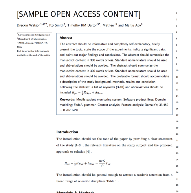

Verifed journal formats

One editor, 100K journal formats.
With the largest collection of verified journal formats, what you need is already there.

Trusted by academicians

I spent hours with MS word for reformatting. It was frustrating - plain and simple. With SciSpace, I can draft my manuscripts and once it is finished I can just submit. In case, I have to submit to another journal it is really just a button click instead of an afternoon of reformatting.

Andreas Frutiger
Researcher & Ex MS Word user
Use this template